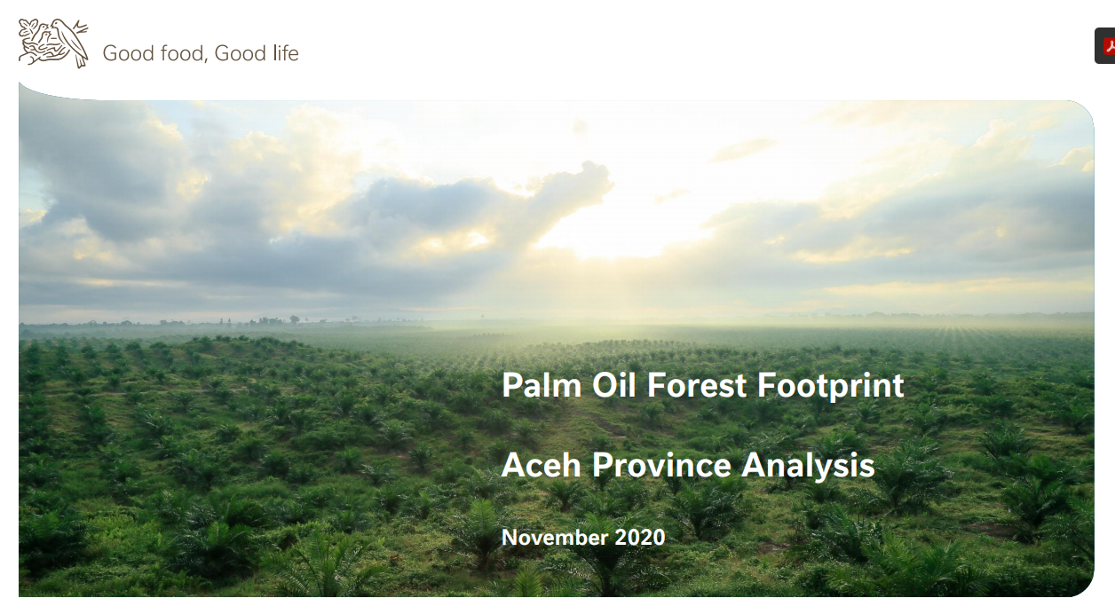
Palm Oil Forest Footprint: Aceh Province Analysis
This report was developed from a pilot exercise conducted by Nestlé, supported by Earthworm Foundation and using Starling satellite mapping and existing data, to better understand the company’s exposure to risks of future deforestation and land rights conflicts in Aceh province in Indonesia. Nestlé conducted the analysis as it seeks to “evolve from a no-deforestation strategy to a ‘forest-positive’ one”, in which the company sources from suppliers actively conserving and restoring forests, while promoting sustainable livelihoods and respecting human rights.
The Aceh Forest Footprint analysis mapped forest areas, peatlands and community lands located within or in proximity to (1) available sourcing boundaries with confirmed links to mills in Nestlé’s supply chain; (2) available sourcing boundaries without confirmed links to mills in our supply chain but that could enter Nestlé’s supply chain in the future; and (3) a 5, 20 and 50km radius around mills in our supply chain for which Nesté did not have sourcing boundaries.
Findings include that 89,667 hectares of forest and peat areas were found within palm oil concessions in the region, and another 1.45 million hectares of forested within 50km or mills in Nestlé’s supply chain was found suitable for palm oil. Engaging suppliers and producer groups further upstream on their commitments to protect these areas has been identified as essential. Conducting High Carbon Stock Approach (HCSA), High Conservation Value (HCV) and Free, Prior, and Informed Consent (FPIC) assessments prior to future development must be central to Nestlés supply chain engagement strategy.
