
Duration of engagment
Short (6-12 months to gather data; 1 month to share it)
Cost
($)
Staff time to gather the data and attend workshops
($)
Staff time to share the data and address any resulting questions
($)
Organization costs to setup and participate in data sharing workshops
($$)
Legal agreements and NDAs surrounding the use and sharing of spatial data
In the real world
Sharing spatial analysis to address encroachment
In West Africa, Touton works with Rainforest Alliance to generate useful data about the farms from which it sources cocoa. Their collaboration runs analyses on the polygons that represent cocoa farms using geospatial and remote sensing data. These analyses determine the risk of encroachment in national parks and monitors real-time deforestation at the plot level. Developing this spatial data not only helps Touton address local deforestation in its own supply chain, but can also be shared with other relevant stakeholders to support land use planning and monitoring at larger scales.
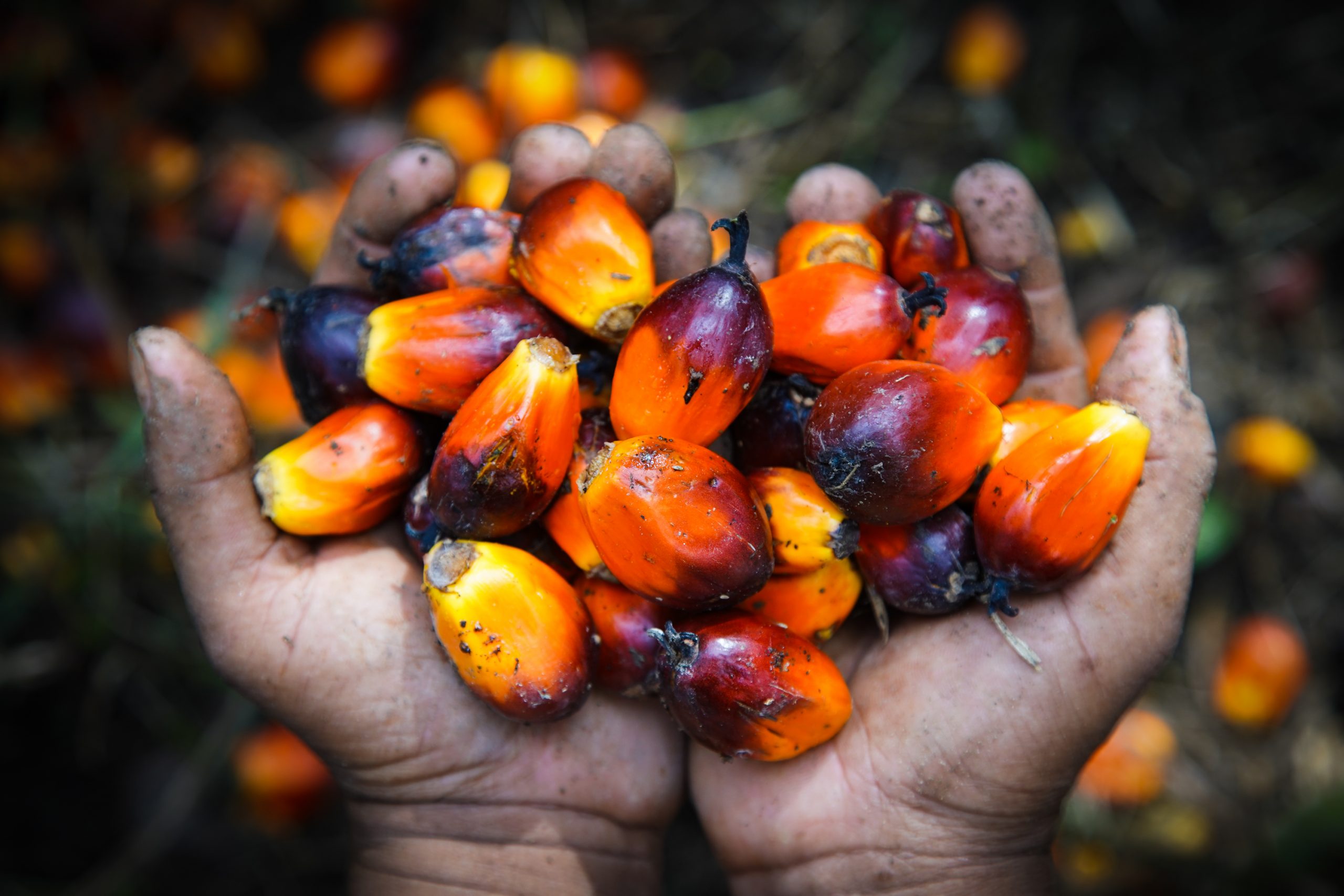
A collaborative list for tracking palm oil origins
A growing list of companies, including traders like Wilmar and Musim Mas, and downstream buyers like Ferrero and Nestlé, have made publicly available the list of mills from which they or their suppliers source palm oil. In 2018, a group of non-profit organizations (World Resources Institute, Rainforest Alliance, Proforest, and Daemeter) aggregated these data for the first time in the form of the Universal Mill List (UML). The UML is a collection of palm oil mill locations around the world, which can be sorted by group, company, mill name, RSPO certification status, and unique “universal ID”. Companies aren’t the only ones contributing data to the UML. The RSPO, FoodReg, government entities, and supply chain researchers regularly add new spatial data, update information, correct mistakes, and weave in extensive records. Even smaller companies have provided tabular data on their websites regarding mill names, locations, and parent companies. The objective of the UML is to provide an accurate, comprehensive, common dataset of, by, and for the palm oil industry that can easily identify mills across various platforms and enhance reporting efforts.
Connecting the dots on sourcing beyond palm oil
A few companies, such as Unilever, have followed up this early data transparency push by publishing lists of their global suppliers for other commodities like cocoa, soy, paper and board, and tea. Cargill publishes a map that shows the name and location of the cooperative offices and buying stations in Côte d’Ivoire and Ghana from which it directly sources cocoa.
Key points for companies
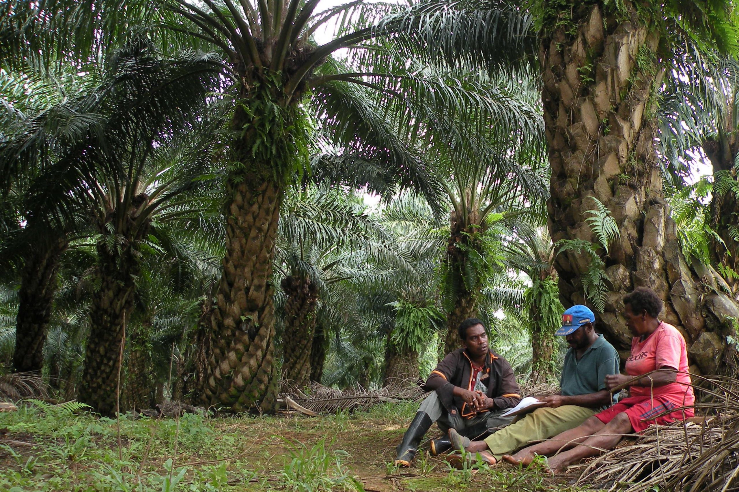
Identify which company data other stakeholders could use to improve landscape/jurisdiction-level sustainability. Local stakeholders often lack a complete picture of land-related ecological, ownership, and use characteristics or dynamics, which impedes the ability to plan, execute, and monitor progress. Companies that possess these data or that have influence with those who do can fill important gaps in information.
- The data need not be proprietary. Companies can bring even relevant public information to the attention of other stakeholders unaware of it. For example, Global Forest Watch provides data on tree cover loss and instances of fire, which can be analyzed within any jurisdiction to determine where there may be deforestation hotspots or risk. Such data help inform land use planning decisions as well as monitoring and enforcement activities.
Data might be held by farm/concession managers if the company is a commodity producer, by the procurement or sustainability teams if the company is an upstream commodity buyer, or by producers and traders in the company’s supply chain that operate in the jurisdiction.
Relevant data could include:
- Boundaries of farms, ranches, forest management units, or concessions – including those managed by the company and by independent smallholders
- Coordinates of mills or other processing facilities
- Geological, water, or other biophysical data
- Maps of community lands and areas with important environmental attributes (e.g. High Conservation Value areas or High Carbon Stock areas)
- Management plans for land overseen by the company or by its suppliers
- Historical maps or other records of ground cover and land use that could help establish trends over time
- Non-competitive information on crop production, soil productivity, and/or conservation needs that could help identify good production practices
Data sharing can pose challenges both for local actors and to the companies that share. To mitigate these risks in advance, companies should:
- Follow national guidelines, particularly when sharing farm boundaries, and apply proper social and environmental safeguards to minimize impacts on local communities
- Draft agreements that define who can use the shared data, and how
- Aggregate contributions so that only consolidated data are made publicly available, with identifying information stripped out
- Limit sharing of the most sensitive or controversial data with only those government actors engaged in land use planning or enforcement (e.g. ministries of agriculture, forestry, environment, rural development), using non-disclosure agreements (NDAs) to ensure confidentiality of data that informs landscape/jurisdiction-level planning efforts.

Data should be shared with the multi-stakeholder body representing key actors in the landscape/jurisdiction to guide discussions about setting targets, planning land use, and implementing decisions (see “Co-design jurisdictional goals, key performance indicators (KPIs), and implementation strategies” and “Support development of a robust landscape/jurisdictional land use plan”). A robust conservation or restoration plan will take into account data about the relationship between priority conservation areas, production areas, and processing facilities. Likewise, access to these data will enable the government or other stakeholders to monitor implementation of landscape/jurisdictional action plans and progress toward achieving KPIs.
Share data in formats that match those used to develop or monitor progress toward meeting landscape/jurisdictional outcomes (ideally digital; sometimes printed maps or written descriptions are handy).
External conditions that improve likelihood of success
- Robust data management policies and metadata standards
The business case for this intervention
- Sharing data is an inexpensive way to show leadership while building trust with other stakeholders, advancing a culture of transparency, and encouraging others to share their own data. Companies are also in a position to determine who will gain internal or external access to confidential data, and for what purpose.