This story is related to the landscape initiative “Okomu Forest”, and originally published on SourceUp.
Edo State, Nigeria, comprises three key ecological zones extending from north to south: moist lowland rainforest (Edo South), dry rainforest and derived savanna (Edo Central), and southern Guinea savanna (Edo North). The state is endowed with rich biodiversity, notably due to the presence of the Okomu National Park and favourable soil conditions that support plantation crops such as rubber, oil palm, and cocoa. Although Edo State hosts approximately 49 forest reserves, most have suffered extensive degradation. The Okomu National Park remains the only largely intact forest landscape—yet it continues to face mounting threats.
Through the NISCOPS programme, IDH has made significant contributions to reversing these negative trends by strengthening collaboration with private sector actors, local communities, government institutions, and other stakeholders within the forest landscape. A governance structure is already established at state and landscape level, providing a platform for inclusive landscape management. In addition, livelihood initiatives have been introduced to increase income for forest-dependent households, reducing incentives for encroachment.
However, recent trend analyses indicate escalating threats to forest areas, underscoring the urgent need to protect remaining forest assets while scaling up restoration efforts. In response, IDH partnered with the Edo State Government and private sector institutions to conduct capacity-building training on digital forest monitoring tools for key Ministries, Departments, and Agencies (MDAs). This intervention supports broader state objectives to strengthen forest governance and promote the use of digital technologies for landscape monitoring. It also aligns with ongoing state-led initiatives aimed at enhancing environmental sustainability and responsible land-use management.
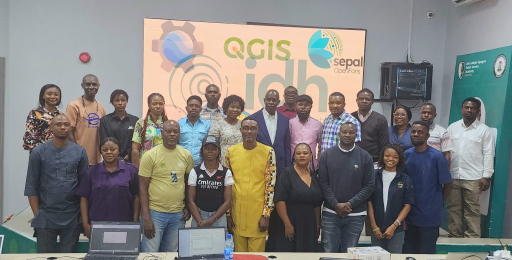
A total of 22 participants underwent an intensive five-day training on tools such as Geofolio, QGIS, and SEPAL IO. Representatives from Africa Nature Investors (ANI), TA Commodity, Okomu Oil Palm Company, and the National Park Service also participated. Through the training, participants were equipped to classify forest landscapes across Edo State, develop and interpret geospatial maps, and generate analytical reports on the current forest conditions. A key expected outcome is the integration of these digital tools into the state’s operational workflows to improve forest monitoring and protection.
The training featured individual and group presentation and report writing. The training concluded with strong commitment from all participating institutions to adopt and promote these digital systems for enhanced forest protection, policy enforcement, and sustainable management of forest landscapes across Edo State. IDH will continue to provide post-training technical support and, in collaboration with the facilitator, ensure ongoing follow‑up to strengthen participants’ capacity and promote sustained deployment of these tools.